The Winter Forecast

 <–(The first set of maps is the average North American winter conditions for El Nino on top and La Nina on the bottom. The second map is global sea surface temperatures, with the blue colors indicating areas where the water is colder than average, and yellow/orange where sea surface temperaturs are warmer than average – click on the maps to enlarge) The key word for this winter is “volatile”. We’re going to see the mean storm track set up over the Great Lakes this winter, with the likelihood of a couple of months with above average precipitation, significant snow and a better chance of a freezing rain event than last winter. The place to start the winter forecast is La Nina. We had El Nino (warmer than average water temperatures along the Equator in the Pacific Ocean) last winter. This has (quickly) changed to the opposite La Nina pattern (colder than average water temperatures along the Equator in the Pacific Ocean). This is now a solid moderate La Nina heading toward a strong La Nina. You can see all the blue (colder) water stretched along the Equator in the Pacific west of Ecuador. With a strong signal like this, all winter forecasts should start with the average winter conditions for a La Nina, shown in the bottom half of the map on the left. That implies colder than average weather from Alaska down through the Pacific Northwest, Northern Rockies and Northern Plains…with warmer than average conditions on the whole from Arizona east across the southern U.S. to the Mid-Atlantic States. The battle zone in between will be the mean storm track for the winter…you can see the tendency for above average winter precipitation from the Pacific Northwest and in the Ohio Valley just south of Michigan. (Click on “read on” to continue…). The last La Nina was 2007 and we had 107″ of snow that winter, 2nd highest total ever for G.R.!
The last year when we had a rather dramatic shift from El Nino to La Nina was 1998-1999. During that winter, we didn’t get much snow until right before Christmas. Then we got winter…over 40″ of snow fell in Grand Rapids during the first 13 days of January and we had half a month when the temperature didn’t get warmer than 24°. After mid-January, the temperature turned warmer than average and in the 2nd week of February we hit 69° for the warmest temperature ever so early. So it was a short “winter”. However, I think the snow comes earlier this year. Here’s U.S. Precipitation for January 1999 – it was wet in Michigan.
If you look on the sea surface anomaly map on the right above, you can also see blue color (colder sea surface temperatures) in the shape of a backwards “C” across the northern Pacific, past Alaska and down the West Coast of the U.S. and northwest Mexico. That pattern is called a cold PDO (Pacific Decadal Oscillation). Look at this graph of the PDO over the past 110 years (side note…the PDO Graph is a better fit to U.S. temperatures over the past century than CO2. Note how temperatures tend to go down during extended periods with general cold PDOs like the 50s to 70s and then warmer with the warmer phase of the PDO, like during the 80s, 90s and 2000s). Note this article which (on the right side about 1/2-way down) mentions the tendency for above average precipitation in the Great Lakes during winter when there is a cold PDO.
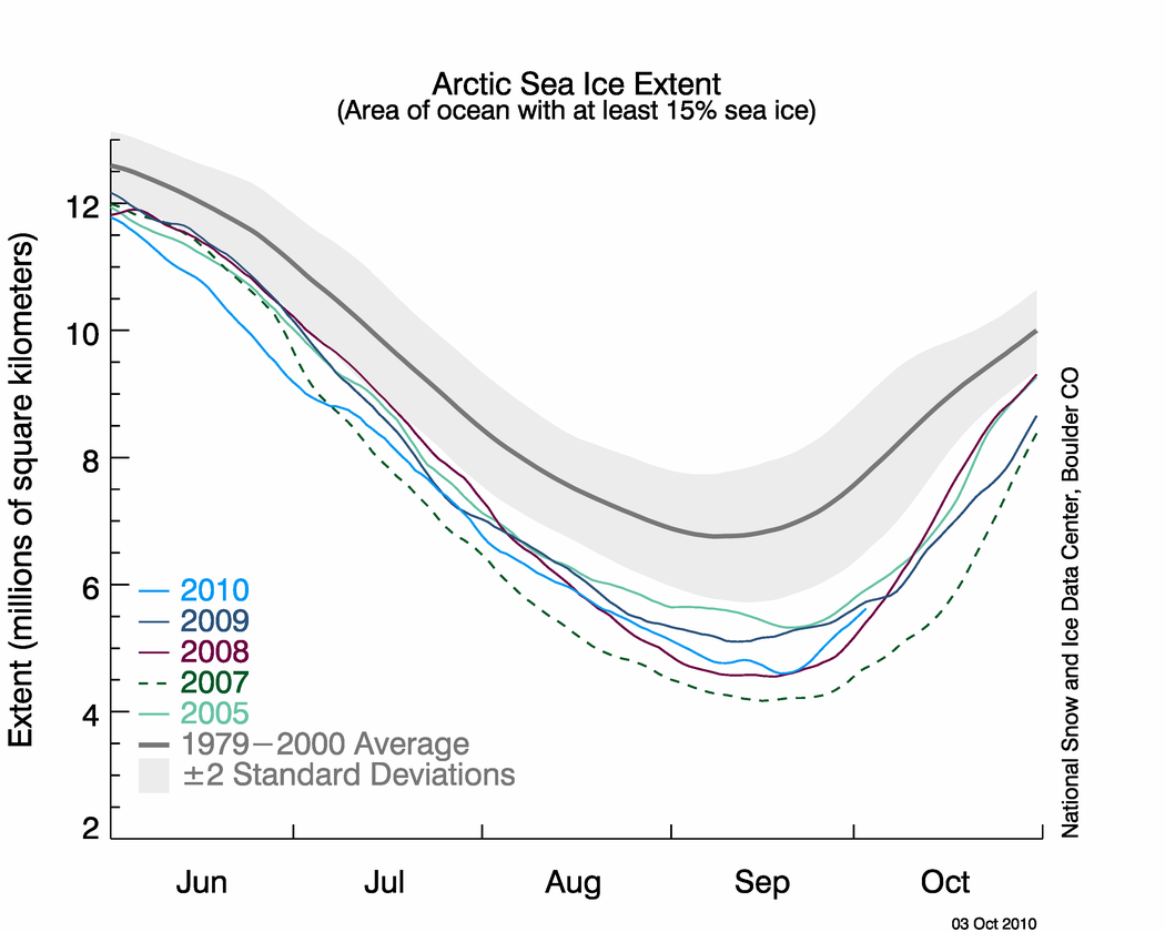
I’ve looked at so much more…what happened in years when we had both a La Nina and a large number of Atlantic basin hurricanes, the water temperature of the Great Lakes (warmer than average) and Hudson Bay, the early season cold across Alaska and Northern Canada (the average temperature for the town of Alert has been -1.9°F for October), the growth of the Arctic icecap (about the same place as this time in 2009 and more ice than 2008 or 2007), the (rather anemic) solar cycle. When all these factors came together, what happened during the following winter?
So, I’m forecasting 88″ of snow for Grand Rapids, 77″ for Kalamazoo, and 92″ for Holland (Holland will vary quite a bit because of the narrow lake-effect bands), the snow belt from northern Muskegon Co. up thru Manistee Co. (Wellston) should top 100″ for the winter. Above normal snowfall is likely over most all of southern Lower Michigan. We have a better than average chance of a freezing rain event (at least more so than the past few years) somewhere in southern Lower Michigan. Rather than the mostly steady winter of last year…this winter will have it’s ups and downs…more days warmer than 40 degrees from Dec. 4 to Feb. 28 and more days below +5. We’ll see more than our fair share of challenging driving, as storms bring a lovely combination of fluffier lake-effect and the heavier snow that can come from low pressure centers. Storm systems that come up into Lower Michigan or go just north of us will bring a fun mix of precipitation (snow to freezing rain/sleet to rain and back to snow) I think the overall winter temperature is about 1-2 degrees warmer than average for Grand Rapids and near average for Kalamazoo. Arctic blasts should be relatively short-lived with the REALLY cold stuff off to our northwest for a good portion of the winter. I think with the warmer lake water, a significant bout of lake-effect snow is quite likely…mid-late November to start but some significant bands will likely continue into January. I’ll note this is not going to be an easy winter for day-to-day forecasting.
This will be a good year to take a southern vacation…much less snow and warmer temperatures overall this winter from Oklahoma and Texas east to Florida and north into the eastern Carolinas. While you will get some rain down south, the extended cold that they had in Florida last winter won’t happen this winter (applause here from the manatees!) and not a bad winter in the Arizona desert. The Pacific Northwest looks cool and wet (could Seattle get a snowstorm this winter??) with lots of snow in the Cascades up into southern Alaska.
I’ll continue to add more as we head into the winter. By the way, here’s the Old Farmer’s Almanac Forecast (I don’t agree with their cool and snowy winter in the south or the dry winter in the Ohio Valley/southern Great Lakes). The 90-day forecast from the Climate Prediction Center looks pretty good to me.
No comments:
Post a Comment